Your Site Is Moving.
Are You Seeing Everything?

Dragonfly Aerials delivers precision aerial data, documentation, and inspection services to AEC teams across Colorado — before problems get buried.

Based in Arvada, CO. Serving the Colorado Front Range and beyond.

FAA Part 107 Certified
Licensed Remote Pilot Operations
$1M Insured
COI Available Upon Request
Sub cm/pixel
Survey-Grade Accuracy
5–7 Business Days
Standard Delivery Turnaround

The Problem

Your Site Moves Fast

Decisions compound. Mistakes get covered up before anyone sees them, until they become expensive, hard to verify, and harder to correct.

The Solution

Document What Matters

Dragonfly Aerials gives your team the aerial data it needs to stay ahead, including weekly progress maps, thermal scans, 3D documentation, and inspection imagery that is defensible from day one.

Call or Text 720-882-8920

Advanced Industrial Services

Construction Progress Documentation

Monthly, weekly, or bi-weekly progress flights with consistent angles, time-stamped records, and a video progress loop your whole team can use.

Facade & Roof Inspections

High-resolution close-up imagery of exterior conditions — cracks, sealant failure, storm damage — without ladders or lift time.

Orthomosaic Mapping & 3D Modeling

Geo-referenced maps, survey-grade outputs, and 3D digital twins for CAD/BIM overlay, volumetric analysis, and investor reporting.

Thermal & Infrared Imaging

Heat-loss detection, moisture identification, and solar panel inspection using thermal sensors — see what visual cameras can't.

How it works

Strategic Planning

We define mission parameters and airspace clearance based on your specific industrial needs.
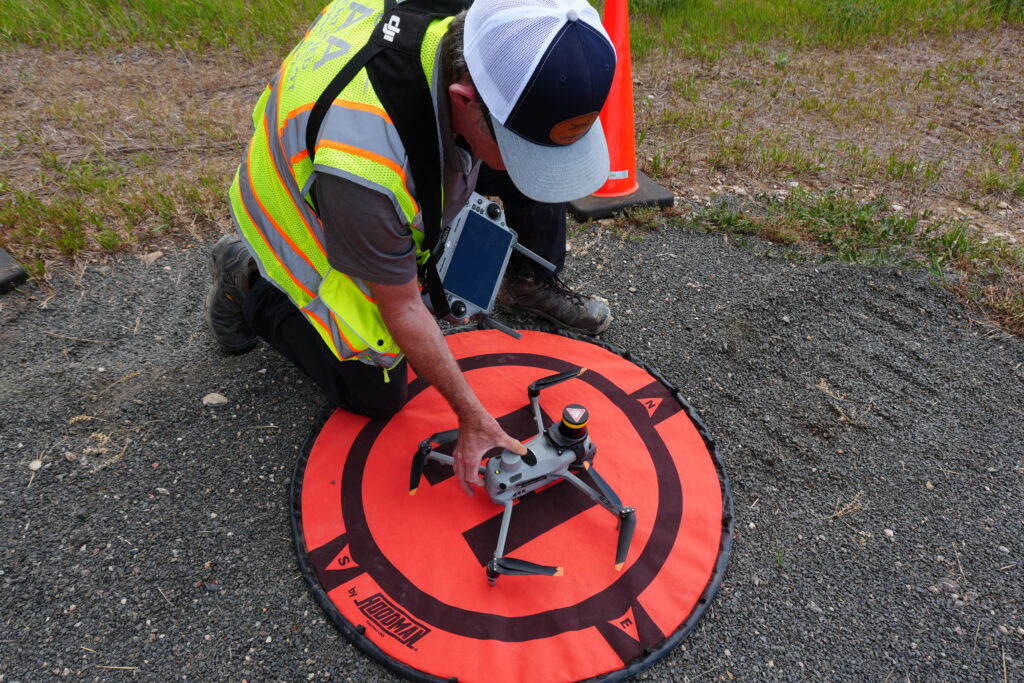
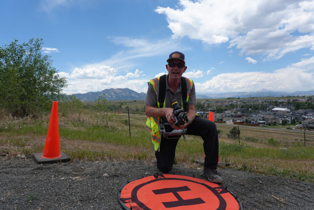
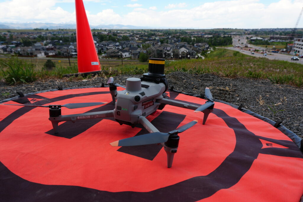
Autonomous Capture

Our pilots deploy state-of-the-art UAVs to gather high-fidelity radiometric and visual data points.

Data Synthesis

Advanced processing yields actionable reports, 3D models, and comprehensive health assessments.

Mike, FAA Part 107 Certified Drone Pilot and Owner of Dragonfly Aerials in Colorado

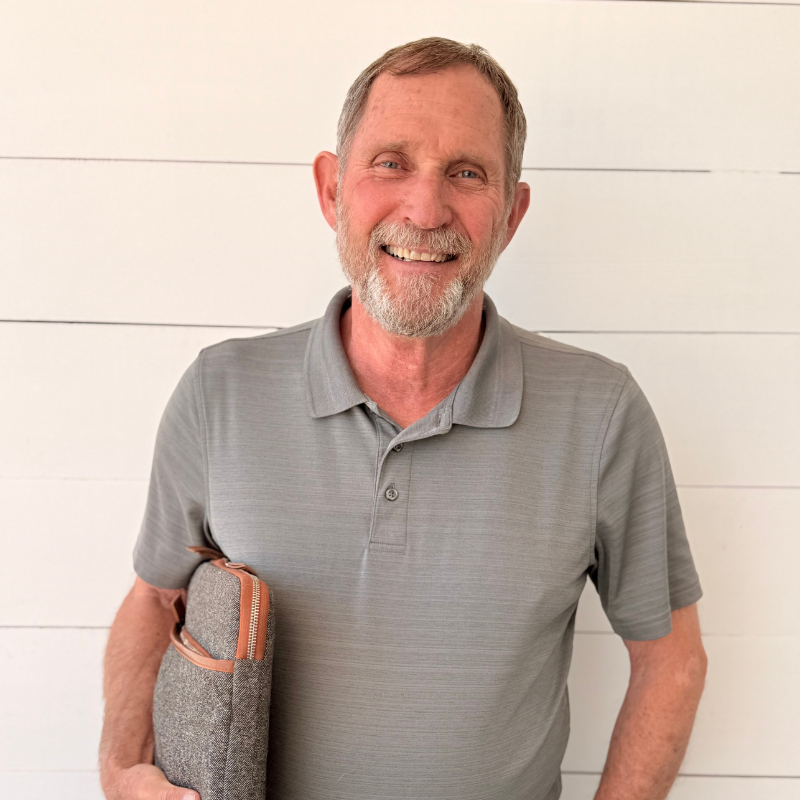
MEET MIKE BROWN, FOUNDER.

Before founding Dragonfly Aerials, Mike spent years leading construction projects across Colorado as a Superintendent. Today, he helps AEC teams document projects with aerial data, inspections, mapping, and progress reporting that prevents costly surprises.

As Colorado celebrates 150 years of statehood, Mike is also passionate about preserving historic structures through aerial documentation, creating permanent records before change alters them forever.

Success story

Optimizing 400 Miles of Grid Infrastructure

"Their weekly maps became the primary tool for our Monday morning sub-meetings."
Marcus Thorne
Regional Director of Construction, Blue Ridge Development Partners

Industrial Verticals

CONSTRUCTION & DEVELOPMENT

Weekly progress documentation, mapping, and aerial records for owners, contractors, and developers.

ENGINEERING & ARCHITECTURE

Survey-grade mapping, 3D modeling, and documentation that supports design and BIM workflows.

ROOFING & INSURANCE

High-resolution inspection imagery and condition documentation for claims, repairs, and assessments.

MARKETING AGENCIES

Professional aerial imagery and video for development showcases, campaigns, and presentations.

HISTORIC PRESERVATION

Documenting Colorado's historic structures through detailed aerial imagery and permanent visual records.

OWNER REPRESENTATIVES

Objective project documentation and progress visibility for stakeholders who can't be on-site every day.

FAA Part 107 Certified

$1M Insured

COI Available

Ready to See Your Site Differently?