
Exterior Punch List Documentation With Drone Imagery
How drone elevation imagery supports exterior punch list documentation, from locating sealant, cladding, and flashing items to verifying each one is closed.
Aerial data insights, project documentation, and Colorado drone photography news from the team at Dragonfly Aerials.

How drone elevation imagery supports exterior punch list documentation, from locating sealant, cladding, and flashing items to verifying each one is closed.


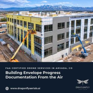
A practical guide to building envelope progress documentation: what to capture from the air as barriers, windows, cladding, sealant, and roofing go on.

Construction closeout documentation explained: why dates matter at substantial and final completion, and how dated aerial records support the file.

Planning winter drone flights on Colorado construction sites? See how Part 107 weather minimums, cold, and short days shape your capture schedule.

How LAANC airspace authorization works for construction site drone flights near Front Range airports, and how to plan it into your schedule.

How Colorado construction teams document stormwater inspections, and where dated aerial imagery can support the records without replacing the inspection.

Comparing a facade inspection by drone vs. lift? Learn what OSHA aerial lift requirements add, and how to sequence a drone survey with hands-on work.

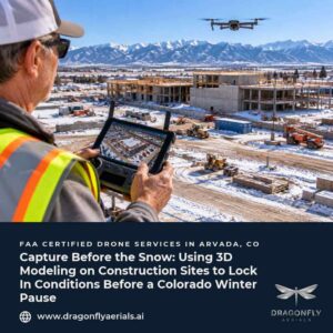
A dated 3D site model gives Colorado construction teams measurable stockpile volumes and a spring baseline before winter shutdown. Here is how to plan one.

Lenders are moving toward remote draw inspections. See what dated, whole-site aerial progress records add for contractors, owners, and lenders.

Learn how a current orthomosaic map helps general contractors plan laydown, access, safety zones, and trade coordination on active construction sites.