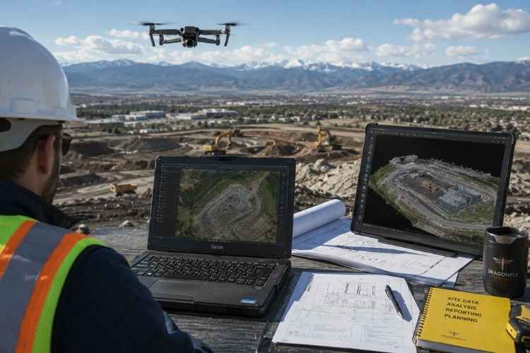
Dragonfly Aerials serves teams across construction, engineering, insurance, and historic preservation — wherever accurate, timely aerial data makes a measurable difference.

Construction teams move fast, and mistakes get covered up quickly. Dragonfly Aerials provides weekly progress documentation, volumetric analysis, CAD overlay verification, and issue-spotting imagery that give project managers, owners, and investors an objective record at every stage.
Services used most: Construction Documentation, Orthomosaic Mapping, Thermal Imaging
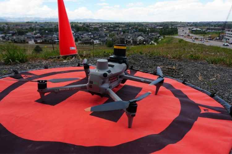
Survey-grade mapping, 3D modeling, and inspection imagery to support structural evaluations, as-built documentation, and BIM integration. Deliverables formatted for direct use in Revit and AutoCAD workflows.
Services used most: Orthomosaic Mapping, 3D Modeling, Facade Inspections
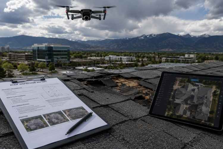
Storm damage documentation, annotated inspection imagery, and before/after comparison sets that hold up in claim reviews and dispute resolution. Safe, fast access to hard-to-reach areas without ladders or lift equipment.
Services used most: Roof & Facade Inspections, Thermal Imaging
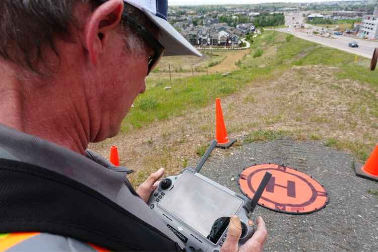
Cinematic aerial footage and high-resolution imagery for development showcases, project portfolios, and client presentations. Professional-grade video and photo deliverables ready for use in campaigns and pitch decks.
Services used most: Aerial Photography & Video, Construction Documentation
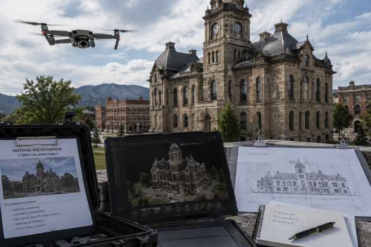
Detailed documentation of Colorado’s historic structures — aerial and close-up imagery to support preservation planning, grant applications, and condition assessments. Dragonfly Aerials is proud to contribute to the effort to document and protect Colorado’s built heritage as the state marks its 150th anniversary.
Services used most: Facade Inspections, Orthomosaic Mapping, Photography