Cheap flights are expensive. The value isn’t in the hardware — it’s in the data you can actually use, delivered in the format your team needs, on time, every time. Here’s what that looks like in practice.
Every flight is piloted by a licensed remote pilot. We handle airspace authorization, safety planning, and FAA compliance — so you’re covered on active job sites, regulated environments, and controlled airspace.

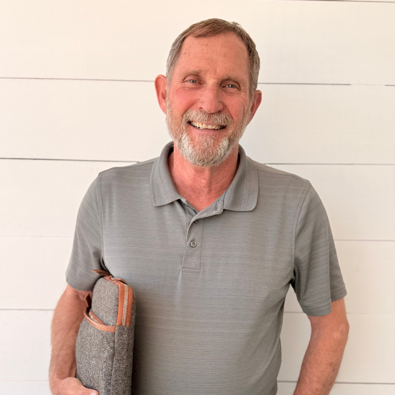
Before launching Dragonfly Aerials, Mike spent more than two decades leading complex construction projects.
General liability coverage with a Certificate of Insurance available on request. Meets the standard requirement for commercial sites and development projects.
GPS-stabilized, repeatable flight paths with an average mapping accuracy of 0.271 cm/pixel. Right data, right format, right the first time — not close enough, exact enough.
Every deliverable receives color correction, organized file naming, and quality review before it reaches you. Clean, labeled files your team can use immediately — no sorting required.
Pre-flight coordination, clear delivery timelines, and a weather policy with no-charge rescheduling. If conditions aren't right, we'll reschedule without adding cost or complexity.
Organized, time-stamped, annotated — deliverables that hold up in dispute resolution, insurance claim reviews, and pay-application approvals. Built for the professionals who need documentation that works.
Dragonfly Aerials operates professional drone systems with 4K–5.1K video and 20MP still capability, thermal/infrared sensors, and GPS-stabilized flight control for repeatable, accurate results across projects of any scale.
Our team is equipped to operate across active job sites, large development areas, commercial properties, and hard-to-access locations throughout Colorado’s Front Range.