
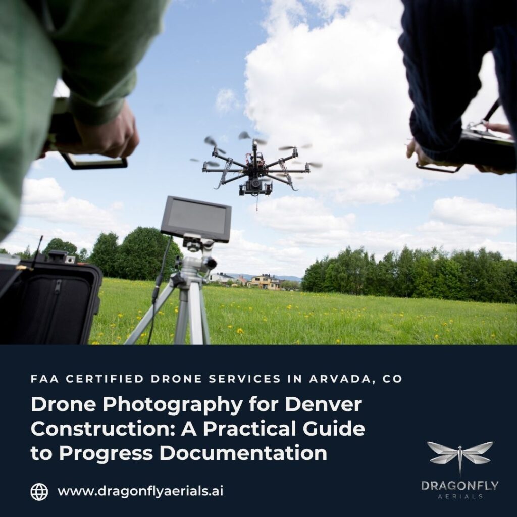
On an active Denver construction site, conditions change faster than anyone can record by hand. Foundations get backfilled, MEP rough-ins disappear behind drywall, and grading shifts week to week. By the time a question comes up — about a buried utility, a slab pour, or who approved a change — the evidence is often already covered. Drone photography gives Denver construction teams a way to keep a consistent, time-stamped visual record of the work as it happens, so decisions can be verified instead of reconstructed from memory.
This guide explains what drone photography actually documents on a construction site, why the timing and consistency matter, and how to think about it as part of a project’s documentation workflow rather than a one-off marketing photo.
What does drone photography document on a job site
Aerial photography is more than a pretty overhead shot. Flown on a regular cadence, it produces a structured record of site conditions that supports scheduling, quality control, and stakeholder reporting. A typical progress flight captures the full footprint of a site from consistent angles and altitudes, so images taken weeks apart can be compared directly. That consistency is what turns a photo into documentation.
Used this way, drone imagery helps teams track planned-versus-actual progress, confirm that work was completed before it was concealed, and give off-site owners a clear view of the site without a trip to the field. Industry guidance on construction drones notes that recurring flights let project managers act faster and reduce costly rework by catching discrepancies early, rather than after the fact (UAV Coach).
Why timing and consistency matter
The value of construction photography compounds when it is captured on a predictable schedule. A single image shows a moment; a series shows a story. When flights happen monthly, bi-weekly, or weekly from the same vantage points, the resulting set becomes a defensible timeline that can answer questions long after the concrete has cured.
This matters financially. Research compiled by the American Society of Civil Engineers and the Construction Industry Institute places direct field rework at roughly five to nine percent of total project cost on average, with some projects running higher (ASCE). Much of that cost traces back to errors and discrepancies that go unnoticed until they are expensive to fix. A consistent visual record will not eliminate rework, but it gives teams a faster way to spot deviations from plan and to document conditions before they are buried.
The safety case for staying on the ground
Drone photography also reduces the need to put people in elevated or hard-to-reach positions just to take a picture. Falls remain the leading cause of death in construction, and roofing alone recorded 134 workplace fatalities in 2023, with the large majority caused by falls, slips, or trips (per Bureau of Labor Statistics data summarized by OSHA.com). When a pilot can capture a roof, a facade, or a tower crane’s reach from the ground, the assessment happens without exposing a worker to that hazard. That aligns with the standard hierarchy of controls, which prioritizes eliminating a hazard over managing it.
What makes the imagery reliable
Not all aerial photography is created for documentation. A few specifics separate a usable record from a nice snapshot:
- FAA Part 107 certification. Commercial drone work over a job site requires a licensed remote pilot operating under FAA Part 107 rules. This is a legal baseline, not a premium feature.
- Consistent capture. Repeating the same flight paths, angles, and altitudes is what allows images to be compared week over week.
- Survey-grade accuracy where it counts. When imagery feeds mapping or measurement, sub-centimeter-per-pixel resolution makes the data dependable for planning and verification.
- Predictable delivery. Documentation only helps if it arrives in time to act on. A defined turnaround — Dragonfly Aerials works to a standard five-to-seven business day delivery — keeps the record useful. For time-critical situations (PT slab Pre-inspection), we strive for 24 hr results, giving crews time to review and make corrections.
How Dragonfly Aerials approaches it
Dragonfly Aerials is an FAA Part 107-certified operation based in Arvada, serving the Colorado Front Range. Founder Mike Brown spent years as a construction superintendent before flying drones, which shapes how the work is scoped: the goal is documentation that holds up in a Monday-morning coordination meeting, not just imagery that looks good on a website.
Our Construction Progress Documentation service delivers monthly, weekly, or bi-weekly progress flights with consistent angles, time-stamped records, and a video progress loop the whole team can use. If you are weighing how aerial documentation fits into your existing workflow, the How It Works page walks through planning, capture, and delivery, and the full Services overview shows how progress photography connects to mapping, modeling, and inspection.
The takeaway
For Denver construction teams, drone photography is most valuable not as a marketing tool but as a documentation discipline. Captured consistently by a certified pilot and delivered on a reliable schedule, it creates a defensible record of what was built, when, and in what condition — before the next phase covers it up. If that kind of visibility would help your project, you can request a quote to discuss a documentation cadence that fits your schedule.
Sources:
UAV Coach — Drones in Construction; ASCE — Cost of Field Rework; OSHA.com — Benefits of Drones on Construction Sites.