2026 marks two significant milestones: the 250th anniversary of the United States and the 150th anniversary of the State of Colorado. As part of that celebration, the Colorado History Museum is working toward adding 150 new sites to the state’s historic registry — and they’re getting closer to that goal.
Many of these sites already carry historic status but exist in various stages of preservation — or deterioration. Development is accelerating across Colorado’s Front Range, and the window to document these structures in their current condition is narrowing.
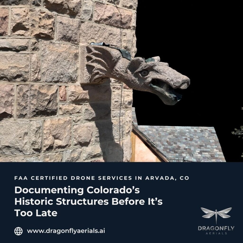
Aerial documentation is one of the most effective first steps in any preservation effort. High-resolution imagery, orthomosaic mapping, and thermal scanning give preservation teams, architects, grant committees, and state agencies a unified, defensible record to plan from. Unlike traditional documentation methods, drone-captured data can cover entire structures — exterior conditions, roof states, facade integrity, and surrounding context — in a single mobilization.
We recently had the opportunity to work at Cherokee Ranch — one of Colorado’s most significant historic properties — capturing aerial and close-up documentation of the estate and its structures. We’re proud to have full authorization from the Cherokee Ranch organization to share this work and grateful for the trust they placed in us to document something this meaningful.
This is the work that ‘Preserving the Past, Documenting the Present and Planning the Future’ was built for. If you’re working on a historic structure, a preservation initiative, or a grant application that needs defensible aerial documentation, we’d love to be part of it.
📞 720-882-8920 · Mike@dragonflyaerials.ai · dragonflyaerials.ai