
A superintendent arrives Monday morning to find a pallet of copper fittings gone from the laydown yard. Nobody saw it happen. The gate log shows normal traffic all weekend, the one fixed camera on site points at the trailer entrance and nowhere near the yard, and there is no dated record of what was actually staged there on Friday versus what should have been there Monday. The insurance claim needs a value and a timeframe, and right now the project has neither — just a superintendent’s memory of what he thinks was on the pallet.
This kind of gap is becoming a bigger line item than most project budgets account for.
The scale of the problem
Heavy equipment theft alone costs the construction industry an estimated $300 million to $1 billion a year in the United States, according to the National Equipment Register, and that figure does not include materials, tools, or the project delays that follow a theft. Recent survey data points in the same direction. Pro-Vigil’s sixth annual State of Physical Security survey, covering 2025 and reported by For Construction Pros, found that 89 percent of construction leaders said physical security incidents on their projects stayed the same or increased over the past year. Among the construction respondents, 32 percent cited inventory loss, 32 percent cited damaged assets, and 20 percent cited project delays as the direct operational impact.
None of this is unique to Colorado, but it is not abstract here either. Active job sites along the Front Range carry the same laydown yards, staged materials, and unattended equipment that make any site a target, particularly in the gap between a Friday shutdown and a Monday restart when a site sits unattended the longest.
Why documentation closes a gap that fixed cameras don’t
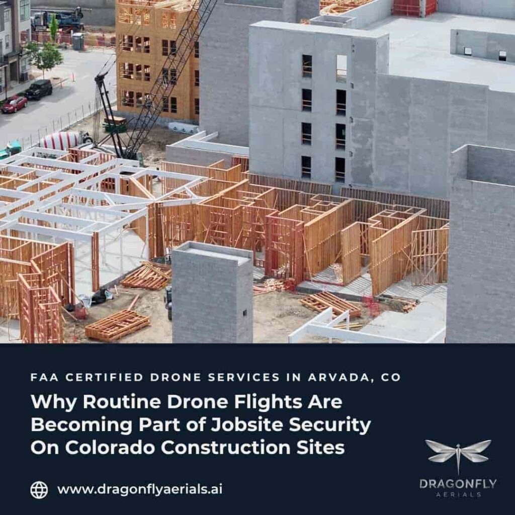
Fixed security cameras cover a defined field of view and nothing outside it. A camera trained on the site entrance says nothing about what was staged in the back corner of the yard, and repositioning ground cameras every time a laydown area shifts is not practical on an active site where material staging changes weekly. This is where a routine aerial flight adds something a static camera cannot: a dated, wide-angle record of the entire site footprint — what equipment sat where, what materials were staged, what the yard looked like — captured from a consistent position on a defined schedule.
It is worth being direct about what this is and is not. A weekly or bi-weekly drone flight is not a live security system. It does not watch the site overnight, and it will not catch a theft in progress. What it produces is something a static camera or an occasional phone photo usually cannot: a dated, wide-footprint record that shows what was on site the last time it was documented, which is exactly the kind of evidence an insurance claim or a police report needs when the question becomes “what was actually there, and when.” For a GC managing multiple sites, that record also removes the guesswork from a Monday morning walk-through — the imagery shows what should be there before anyone starts looking for what is missing.
Where this fits into an existing documentation program
The practical advantage for teams already using aerial progress documentation is that this benefit comes at no extra cost. The same weekly flight that produces a progress record for the superintendent, the owner, and the lender also produces a dated account of what equipment and materials were present on the site that week. A project that is already flying for progress reporting does not need a separate security-focused flight; the existing record does double duty, and reviewing it after an incident is a matter of pulling the most recent capture rather than requesting a special flight after the fact.
That said, timing matters more for this use than for general progress reporting. A flight captured the same day materials arrive, or scheduled to land just before a weekend shutdown, documents the site at the moment it is most exposed — right before the window when nobody is around to notice something missing. Teams that build this into their flight cadence deliberately get more security value out of the same program than teams that treat the timing as incidental.
How Dragonfly Aerials approaches it
Dragonfly Aerials is FAA Part 107 certified, based in Arvada, and serves construction projects across the Colorado Front Range. Founder Mike Brown’s background as a construction superintendent shapes how these flights get scoped — the goal is imagery that actually answers “what was on site, and when,” not just a wide shot for a report cover page. Our Construction Progress Documentation service delivers weekly, bi-weekly, or monthly flights with consistent angles and time-stamped imagery, with a standard five-to-seven business day delivery window. Our How It Works page walks through how flights are planned and delivered, and the Services overview shows how this connects to mapping and inspection work when a project needs it.
The takeaway
A drone flight will not replace a security guard, a fence, or a monitored camera system, and it should not be sold as one. What it adds is a dated, whole-site record that fills the gap those tools leave — particularly for materials and equipment staged outside a camera’s field of view. For Front Range projects already flying for progress documentation, that record is already being produced; the opportunity is simply to use it deliberately as part of the site’s security picture, not just its progress reporting. If that’s a gap on your current project, you can request a quote to talk through a flight cadence that fits your schedule.
Sources:
https://www.ner.net/solutions/
https://www.faa.gov/newsroom/small-unmanned-aircraft-systems-uas-regulations-part-107