
A storm rolls through the Front Range, work stops for three days, and by the time the schedule catches up, nobody agrees on what actually happened. The superintendent remembers a week of standing water in the excavation. The owner’s rep remembers a couple of rain showers. The scheduler needs a specific number of critical-path days to justify a time extension, and “it rained a lot” is not a number. This is one of the more common, and more avoidable, disputes on an active job site.
Weather is not a minor factor in construction scheduling. Research compiled by SmartPM notes that weather delays affect an estimated 45 percent of construction projects worldwide each year, and separate analysis from EHAB puts weather at roughly 21 percent of construction delays globally, making it the single largest external cause of schedule disruption on most projects. Those numbers hold up because weather is one of the few delay causes nobody can prevent. What a project team can control is how well the delay gets documented while it is happening.
Why “it rained” is not a claim
Most contracts that allow for weather-related time extensions require more than proof that bad weather occurred. They require proof that the weather event exceeded an agreed threshold, that it happened on days the crew would otherwise have worked, and that it affected activities on the critical path rather than float. SmartPM’s guidance on tracking weather delays lays out the practical mechanics: set specific thresholds in advance (a common example is rainfall exceeding a quarter inch during work hours, or temperatures below 20 degrees Fahrenheit), compare site-specific conditions against the nearest weather station’s data, and confirm the delayed activity actually sat on the critical path before submitting a request. Contractors who skip that verification step are the ones whose weather claims get challenged or rejected.
The legal side of this reinforces the same point. Industry legal commentary on evidencing delay claims consistently comes back to the same theme: site records, kept contemporaneously rather than reconstructed after the fact, are what separates a claim that holds up from one that does not. A note added to a daily log two weeks later, from memory, carries far less weight than a dated record created the day the condition existed.
What a dated aerial record actually adds
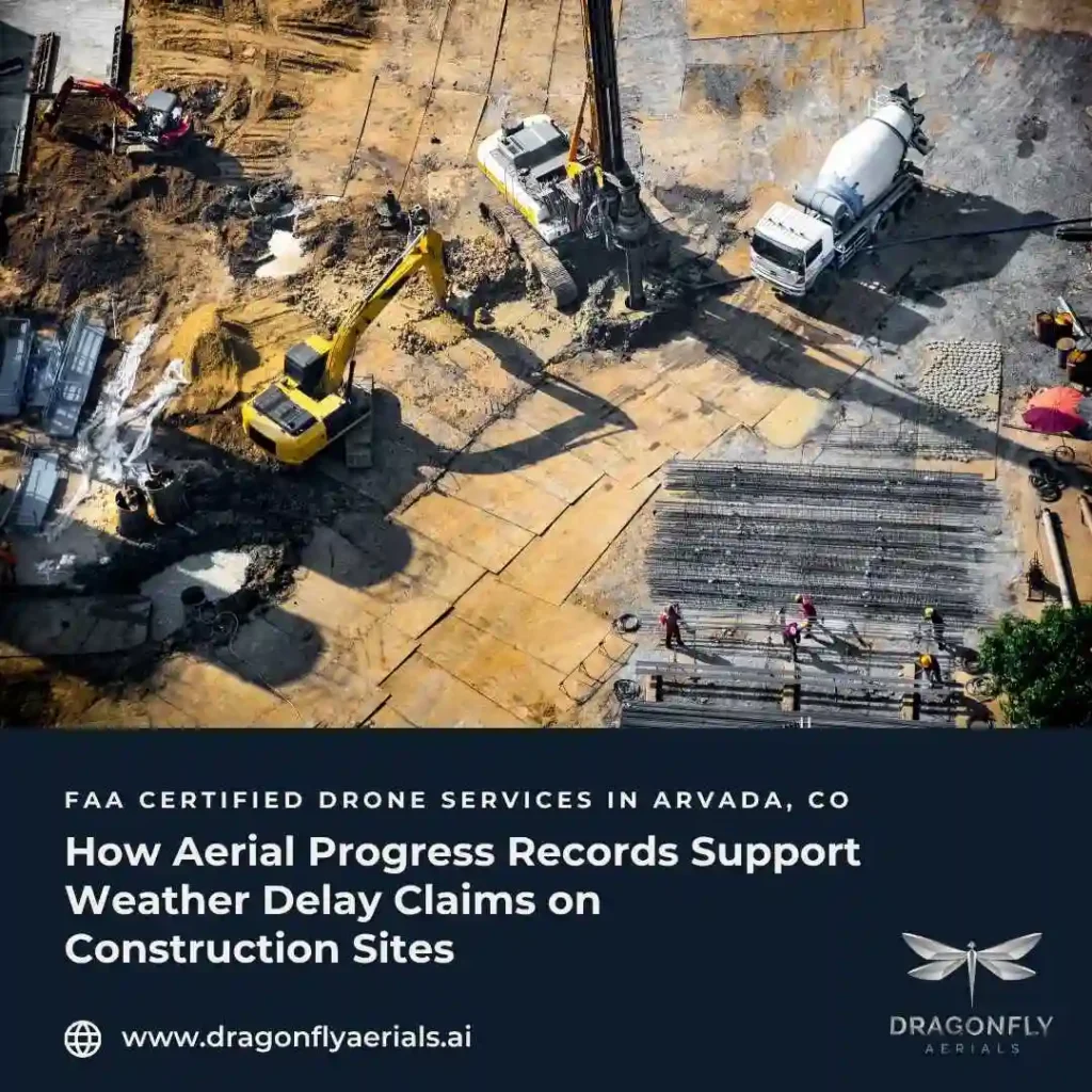
This is where a weekly (or agreed-cadence) aerial flight earns its place in the project file. A drone flight captured from a consistent position documents the physical condition of the site on a specific date: standing water in an open excavation, a saturated laydown yard, wind-blown debris across an unfinished roof deck, erosion at a graded slope. That image is timestamped, geo-referenced, and independent of anyone’s memory of the week. Paired with the crew’s daily reports and the nearest weather station’s data, it turns “we lost time to weather” into a documented sequence: the storm date, the site condition it produced, and the specific area of work it affected.
Dragonfly Aerials builds this record as part of Construction Progress Documentation, flown on a repeatable schedule so each week’s imagery lines up against the last. That consistency matters here specifically because a weather claim usually needs a before-and-after comparison — the site prior to the event and the site during or immediately after it — not just a single photo.
A few things this record is not. It is not a substitute for the crew’s own daily logs, and it is not a formal delay analysis, which is its own discipline typically handled by a scheduler or claims consultant working through critical-path impacts. What it provides is the visual, dated evidence that supports the narrative those other documents are making — the piece that is hardest to reconstruct convincingly after the fact and the piece most likely to be challenged if it is missing.
Building the habit before you need it
The projects that handle weather claims cleanly are usually the ones that treated documentation as routine before any dispute existed, not the ones that scrambled to assemble a record once a delay became contentious. A standing weekly flight, a daily log discipline, and a habit of checking site conditions against the nearest weather station data cost very little to maintain and are difficult to argue with later. For teams evaluating what a documentation program should look like on an active site, our How It Works page walks through the flight-to-delivery process.
Dragonfly Aerials is FAA Part 107 certified and based in Arvada, serving the Colorado Front Range, with 5–7 business day delivery on standard reporting packages. If your project is heading into a season where weather delays are likely, setting up a documentation cadence now is a smaller lift than trying to prove what happened after the fact. You can get a quote here.
Sources:
https://smartpm.com/blog/weather-delays-in-construction
https://ehab.co/knowledge/construction-delay-statistics
https://www.lexology.com/library/detail.aspx?g=a2ec9fbe-9a26-40ee-b563-cd9f15287c5c