
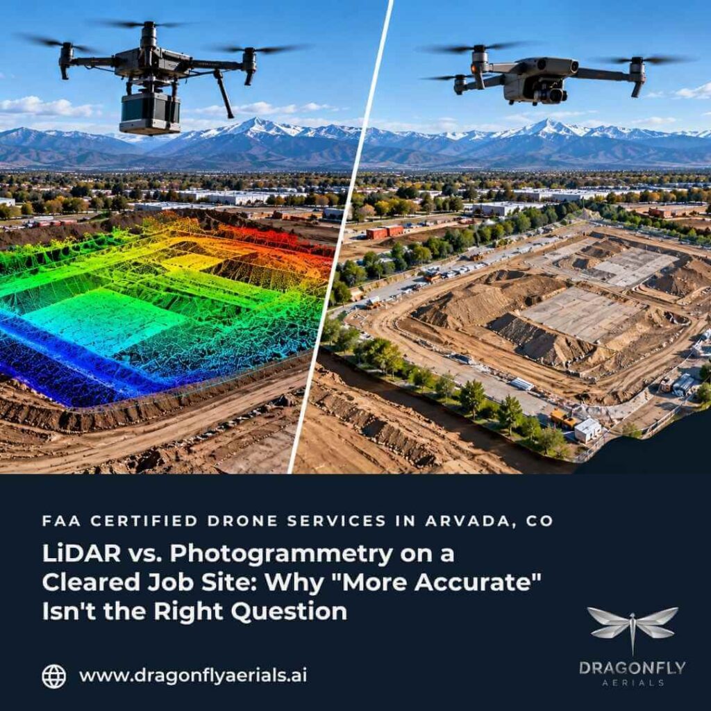
Ask three different mapping vendors whether you need LiDAR or photogrammetry for an upcoming site capture, and there’s a good chance you get three different answers — one pushing LiDAR as the premium option, one quoting a flat per-acre photogrammetry rate without mentioning the distinction, and one genuinely unsure which fits your site. The honest answer is that neither method is universally “more accurate.” Each is built to solve a different physical problem, and which one fits depends on what’s actually standing on the site when the drone flies — not on which technology sounds more advanced.
How the two methods actually differ
Photogrammetry, sometimes called structure-from-motion, builds a 3D model from overlapping aerial photographs. A drone flies a planned grid, capturing images with heavy overlap, and processing software matches visual features across frames to reconstruct their position in space. It’s a passive method — it can only measure what the camera can actually see.
LiDAR is active: a sensor fires laser pulses and measures the time each one takes to return, building a point cloud directly from those measurements. Because a laser pulse can slip through small gaps in vegetation and bounce off the ground underneath, LiDAR can register bare-earth elevation in places a camera physically cannot see past.
What a direct comparison actually shows
That distinction isn’t just theoretical. A published UAV mapping comparison covered by GIM International measured both methods flying the same site and found photogrammetry generated roughly seven times the point density of LiDAR alone — about 6 million points against 845,669 — along with richer color and multispectral detail useful for visual inspection. LiDAR’s dataset was smaller but more consistent, since structure-from-motion accuracy varies more with lighting and surface conditions, and photogrammetry left real gaps where shadows from buildings and trees blocked the camera’s view. The researchers’ conclusion wasn’t that one method wins outright — it was that combining both, where budget allows, captures LiDAR’s accuracy and photogrammetry’s density in a single dataset. For most single-method construction projects, though, the practical decision comes down to what the site actually looks like.
Where each one wins on the ground
According to drone mapping specialists Duncan-Parnell, the deciding factor is usually vegetation and site condition rather than accuracy on paper. LiDAR earns its cost on dense forest, corridor mapping for utilities and transportation, and mining sites where the ground itself needs to be modeled through cover. Photogrammetry is the better fit for large open areas, agricultural fields, construction sites, and quarry operations — the condition of most active job sites once clearing and mobilization are underway — and it typically carries a lower initial cost than a LiDAR-equipped platform, since it doesn’t require specialized laser sensors or the aircraft payload capacity to carry them.
What this means for a typical Front Range project
Most of the construction and development work Dragonfly Aerials supports along the Colorado Front Range — multi-family builds, commercial pads, active grading and earthwork — takes place on sites that are already cleared or being actively cleared. That plays directly to photogrammetry’s strengths rather than LiDAR’s: an open, well-lit site with the ground already visible to the camera is exactly the condition where photogrammetry’s higher point density and lower cost make it the more practical tool, without giving up meaningful accuracy. That’s why our 3D modeling and orthomosaic work is built around photogrammetry flown with ground control, producing sub-centimeter-level work ready for engineering review. See how that fits into a project timeline on our Orthomosaic Mapping & 3D Modeling page.
Where the honest answer is still LiDAR
That said, photogrammetry has a real limit, and a vendor who glosses over it is optimizing for their own equipment, not your project. A heavily wooded parcel being evaluated ahead of clearing, a site with dense brush obscuring true grade, or any project where the ground needs to be modeled before vegetation comes out — those are LiDAR problems. A camera can’t see through what it can’t see past, no matter how the resulting map is processed.
Questions worth asking before you book a flight
Before committing to either method, it’s worth asking a vendor directly: is the site clear enough for a camera to actually see the ground, or does vegetation make that impossible? What accuracy does the deliverable need to support — visual coordination, or a number an engineer will rely on? And will the output arrive in a format your team or your engineer can actually use, not just look at?
Dragonfly Aerials is FAA Part 107 certified, based in Arvada, and serves the Colorado Front Range. Our progress documentation and orthomosaic services run on the same flight program for most active projects, so the cadence that tracks weekly progress can also produce the measurable 3D data a site needs at key milestones. Browse our full service list or see how the process runs end to end on our How It Works page. If you’re not sure which capture method fits your site, request a quote, and we’ll tell you plainly.
Sources:
https://www.gim-international.com/content/article/lidar-or-photogrammetry-why-not-use-both
https://www.duncan-parnell.com/blog/10393/drone-lidar-vs-photogrammetry-duncan-parnell