
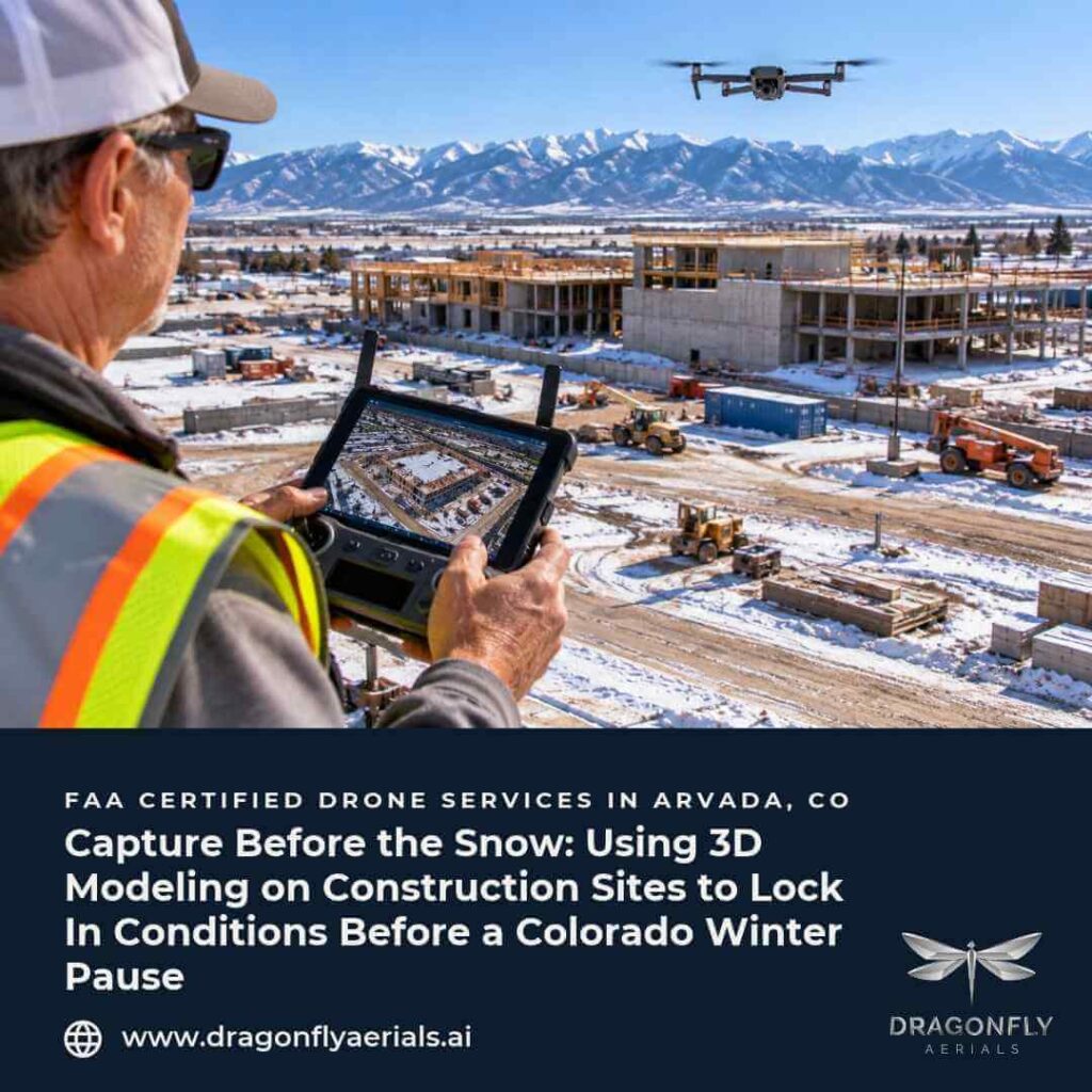
It is the third week of October. The grading sub has moved off the north pad, a topsoil pile is still sitting where the future parking lot will go, and the first hard freeze is a few weeks out. The owner’s rep asks a simple question on the Monday call: “What are we leaving the site looking like for winter, and how much material is out there?” Nobody on the call can answer with a number. That is the moment a 3D site model earns its cost.
What a 3D site model actually is
A drone flight captures hundreds of overlapping photographs. Photogrammetry software uses that overlap to rebuild the ground, the stockpiles, and the structures as a dense 3D surface rather than a flat picture. Because every point in the model has a position and an elevation, you can measure from it: distances, areas, and volumes. Repeat the same flight later, and you can compare the two models and see what changed.
For orthomosaic mapping and 3D modeling, that comparison is the real value. A single model tells you what is on site today. Two models tell you what moved in between.
Why late fall is the right time to capture one
Front Range projects often slow down or pause between November and March. Concrete work gets harder, earthwork stops, and snow can cover the ground for weeks. A model captured before that slowdown becomes the reference point for everything that follows.
A baseline for spring
When crews remobilize in March, the first questions are usually about what changed over the winter. Did the slope behind the retaining wall settle? Did a stockpile shrink because material was removed? Did runoff cut a channel through the subgrade? With a dated model from October, you can answer those questions by comparing surfaces instead of comparing memories.
Stockpiles you can put a number on
Soil, aggregate, and spoil piles are easy to misjudge by eye, especially when they are irregular. Volume is calculated from the model against a base surface, so the choice of base plane matters, particularly on sloping ground. Pix-Pro’s practical guide to drone stockpile measurement notes that picking the wrong base plane can over- or under-count a pile by a large margin, and that a well-flown survey without ground control is usually sufficient for internal estimates, while audits, contracts, or financial reporting call for ground control points or an RTK-equipped drone with checkpoints to validate the result. That is a useful rule of thumb: decide up front how the number will be used, and plan the flight to match.
Stormwater and site stabilization
Colorado construction sites that fall under the state’s stormwater permit have inspection obligations that do not stop just because the crew goes home. Guidance from the Colorado Department of Public Health and Environment (CDPHE) describes a first inspection within seven calendar days of starting construction, then either inspections every seven calendar days or every 14 days with a post-storm inspection within 24 hours of erosion-causing precipitation or snowmelt. The same guidance allows inspections to be excluded when construction has halted and snow covers the entire site for an extended period, provided the dates of snow cover, work stoppage, and the start of melting are recorded. Your permit and plan govern, and requirements differ by project, so confirm yours with your stormwater lead.
Here is where a model helps. The guidance also expects the stormwater plan to map areas used for soil storage and to treat disturbed and stored soil as a potential pollutant source. A pre-winter model gives you a dated, measurable picture of where piles sit, how steep the disturbed slopes are, and where water is likely to concentrate. It does not replace the inspections or the plan. It gives the person doing them a better reference.
Practical ways construction teams use the model
- Cut and fill reconciliation. Compare the current surface to the prior capture or the design surface, then check the result against what the earthwork sub is billing.
- Documenting buried work. Utility trenches, conduit runs, and subgrade get covered quickly. A model captured just before backfill preserves where things sat.
- Winter staging. Knowing how much material is on a tight site helps a superintendent plan deliveries and snow storage before the first storm.
- Owner and lender reporting. A dated 3D record supports the story in your progress report, particularly when work will be paused for weeks.
A note on pay draws
On many projects, pay draws are assembled around the 20th of the month, with completed work projected or prorated through month-end. That is common, not universal, and your loan documents and project requirements set the real schedule. If your draw package leans on stockpiled material or earthwork quantities, a model flown a few days before the package is due is far more useful than one delivered after it is submitted. Plan the capture date around your reporting calendar, not the other way around.
What a 3D model does and does not replace
Drone photogrammetry can deliver imagery down to sub-centimeter-per-pixel resolution, and well-controlled work is suitable for sub-centimeter-level work ready for engineering review. It is a documentation and measurement tool for progress, quantities, and condition records. It does not replace a licensed surveyor, and deliverables that the law requires from a licensed surveyor, such as boundary or stamped elevation work, still belong to that professional.
What to expect from Dragonfly Aerials
Dragonfly Aerials is an FAA Part 107 certified drone services company based in Arvada, serving the Colorado Front Range. We plan each capture around the question you need answered, whether that is a stockpile volume, an earthwork check, or a baseline before winter. Finished deliverables are typically ready within 2–3 business days, and our how it works page explains the process from scheduling to delivery. If you also want a regular visual record, our construction progress documentation flights pair well with a pre-winter model.
If you are heading into a winter pause and want a measured record of where the site stands, get a quote, and we will scope the flight around your project.
Sources
- Pix-Pro, “Stockpile Volume Measurement With Drone Photogrammetry: A Practical Guide”: https://www.pix-pro.com/blog/stockpile-volume-drone-photogrammetry
- Colorado Department of Public Health and Environment, Stormwater Management Plan Guidance (hosted by Boulder County): https://assets.bouldercounty.gov/wp-content/uploads/2019/04/cdphe-stormwater-management-plan-guidance.pdf